
Defining and scoping your GIS needs
Companies, local authorities, NGOs or consultancies: we turn your business need into a clear, properly sized and achievable GIS project.
Geodata intelligence
Entreprises, collectivités, ONG, cabinets d'études et particuliers : de la définition du besoin au développement de vos projets SIG, nous vous accompagnons et vous aidons à transformer vos données en outil décisionnel. Nous proposons également des offres de formation, en groupe ou sur mesure, définies avec vous selon votre contexte et vos objectifs.
Our services
End-to-end support, from initial scoping through to building your platforms and developing your teams' skills.
Companies, local authorities, NGOs or consultancies: we turn your business need into a clear, properly sized and achievable GIS project.
Drone, GNSS, laser scanning (LiDAR), total station, mobile GIS app or satellite imagery (open or commercial): the acquisition method that fits your terrain and your budget.
We reconcile your scattered data into a reliable, documented and interoperable asset, ready to be used.
Web GIS platforms, mobile field applications and data platforms: we build your tailor-made solutions so you can steer your activities.
Étudiants et professionnels en exercice : des parcours 80 % pratiques sur QGIS, ArcGIS, FME, Python ou PostGIS, pour devenir autonome.
AI agents, generative models and machine learning: save hours on repetitive processing and enrich your spatial analysis.
Why GEOAÏKI
What makes the difference in our projects, from the first workshop through to your teams taking over.
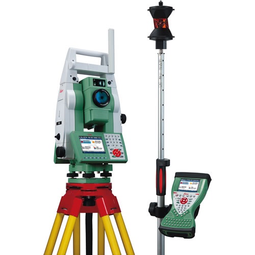
Surveying & land tenure
Land tenure security rests on an often overlooked fact: a parcel can only be registered if its boundaries are measured rigorously, tied to a national reference frame and enforceable in the event of a dispute.
We work across this entire chain. Total station for detailed surveying, differential GNSS for centimetre-accurate geodetic referencing, mobile apps for collecting occupancy information. The resulting data then feeds a structured database, ready to integrate with the land information system.
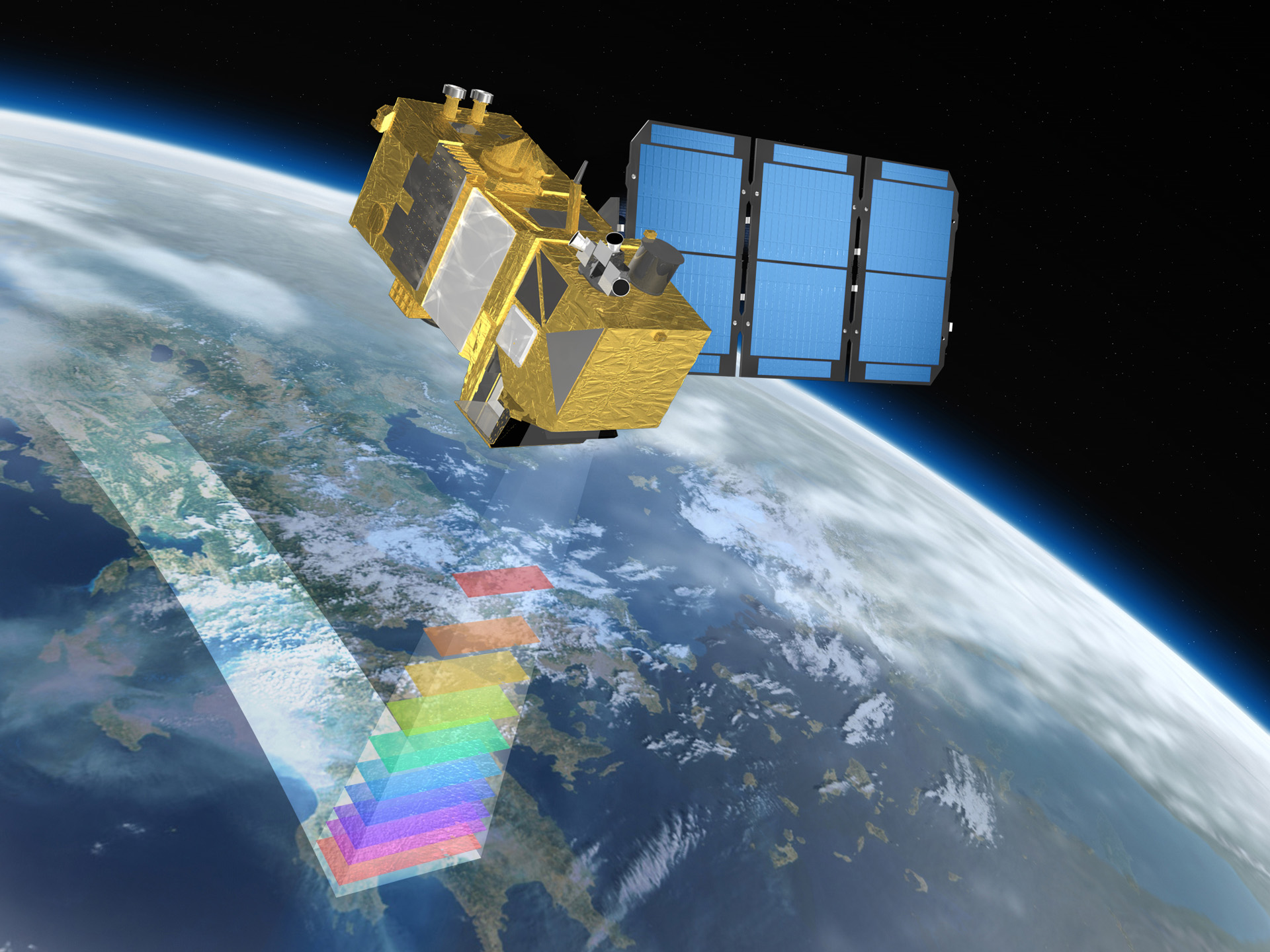
Satellite imagery
On a road alignment several hundred kilometres long, an irrigated perimeter or a mining concession, systematic field visits become impractical. Satellite imagery then takes over.
The Sentinel and Landsat constellations cover the whole continent every few days, free of charge. We use these archives to document a site's baseline condition, measure work progress, track environmental impacts and produce the indicators donors expect — without mobilising a field mission.
0+
years of experience
0+
GIS projects supported
0+
professionals trained
0%
hands-on in our courses
Contact
Describe your need in a few lines — we will get back to you within 48 hours.
contact@geoaiki.com →